CHAPTER 1 2
THE BIG ONE
From the vast, silent darkness of space 512 miles above Earth, the NASA Suomi NPP weather satellite made another pass over South Texas on an April night in 2012. By that November, as part of a scientific study of the extent and environmental impact of man-made lighting, the satellite had completed night shots documenting every square mile of the planet.
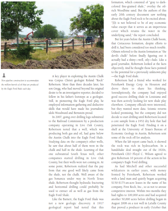
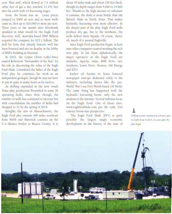
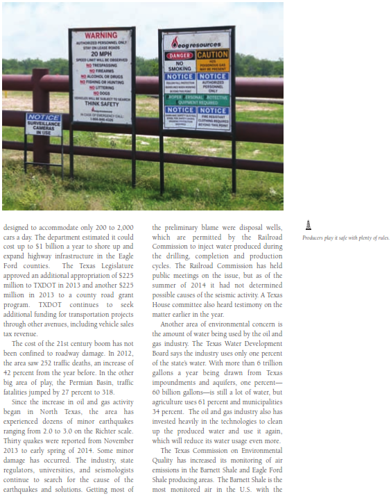
One of the composite images based on the data the satellite beamed back to Earth would have puzzled scientists only a few years before: Spreading to the northeast from north of Laredo on the Mexican border stretched a long band of light equal in luminescence to the city lights of Austin, San Antonio and Corpus Christi. The light came from thousands of oil and gas wells and hundreds of drilling rigs in the Eagle Ford Shale, a huge area of petroleum production that covers 30 of Texas's 254 counties.
Essentially only empty ranch country as recently as 2008, by 2014 the area had more than 8,000 producing oil or gas wells. The growth has been explosive, the oil well count jumping from 40 in 2009 to 1,262 just three years later. The superlatives ascribed to the area amount to a list of Texas brags on steroids. More oil and gas had come from this play by 2013 than all of the production of Iran, Iraq and the Arab Emirates combined. Oil reserves in the Eagle Ford have been estimated at 3 billion barrels. In addition, the U.S. Energy Information Administration calculates that the formation holds 50.2 trillion cubic feet of recoverable gas with the average well likely to produce 2.36 billion cubic feet of gas.
While the numbers change faster than the digits on a gas pump, the Eagle Ford produced 599,000 barrels of oil and 2.69 billion cubic feet of gas a day during the first half of 2013. In 2013, Eagle Ford oil production hit 700,000 barrels a day. As 2014 began, the Eagle Ford was producing more than 1 million barrels a day.
The Eagle Ford boom has revitalized a part of the state that previously depended mostly on the vagaries of agriculture and ranching to sustain its economy. Though South Texas has had some oil play for many years, for decades many South Texas landowners relied on income from hunting leases just to be able to pay their property tax bill. Now, for a lot of ranchers one month's oil or gas royalty check far exceeds what he could expect from making his place accessible to dove, quail, deer, or turkey hunters for the rest of his life.
It may be apocryphal, but an oft-told story has to do with an elderly woman who went to her small-town bank to cash the first royalty check she received from a company that leased her South Texas land.
"I'm sorry, ma'am," the teller says after examining the woman's check. "I can't cash that." "Well, let me see the manager then," the woman insists.
"I'm sorry, ma'am, we can't cash that," the bank president says after taking a look at the check. "But surely you have the $15,000 on hand," the woman persists.
"I'm sorry, ma'am, but that check's for $1.5 million."
If that story's not true, it could be. The latest Texas boom, partially overlapping one of the worst droughts in Texas history, has had a huge economic impact on the Lone Star State. In a way, the Eagle Ford boom is a descendant of one of the more robust, if short-lived booms of the last half of the twentieth century.
The hot play in Texas-and the nation-during the 1970s was along the Austin Chalk, a 10-20 mile wide formation that begins on the border with Mexico, cuts across the central part of the state and continues all the way to Mississippi. In 1975, thanks to improved drilling and completion techniques, penetrating the chalk began to pay around Giddings, in Lee County east of the city that gave the formation its name, Austin. One of the brighter points of a grim decade, at the time the Giddings field was hailed as second only to Alaska's North Slope in importance.
